Export typed columns and native geometry to Parquet
All vector examples · Vector Raster plugin
Write a compact columnar dataset with typed attributes and a native Parquet GEOMETRY logical type.
Before you begin
Download and set up the example project. This walkthrough uses Apache Hop 2.19.0, distribution 0.2.1-SNAPSHOT.build.35761791293.1, with the local run configuration. Keep the supplied input unchanged and use a writable output directory.
Download parquet.hpl · Complete project ZIP
The individual pipeline requires the data and project configuration from the complete ZIP.
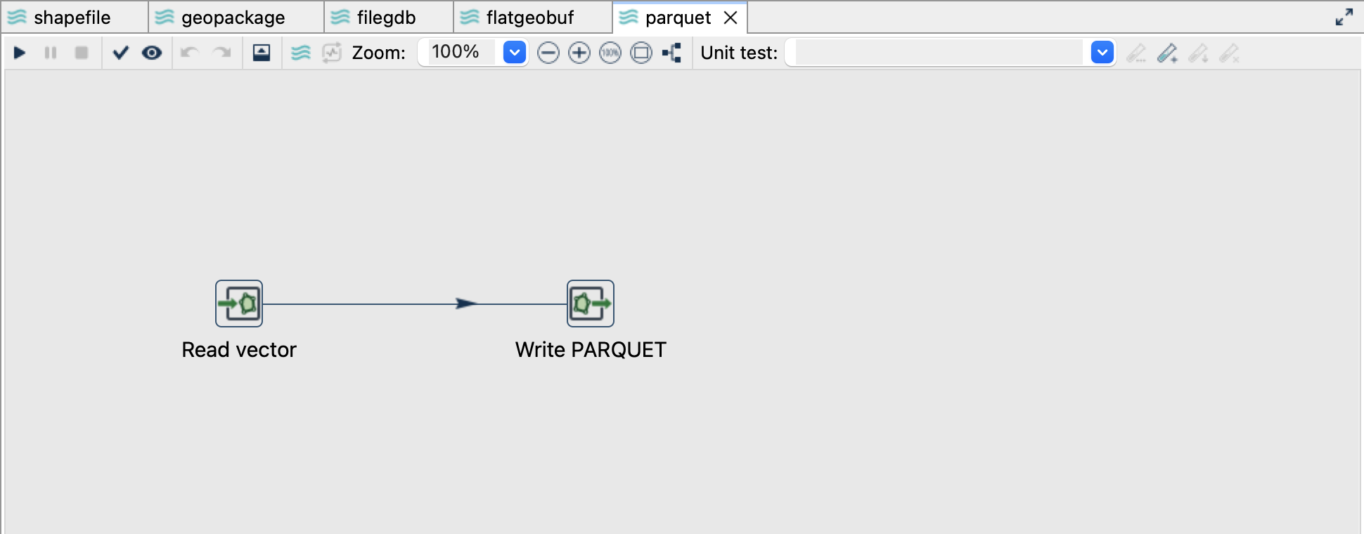
Read the source
- Open
parquet.hplfrom the example project. - Click Read vector and choose Edit. The file is
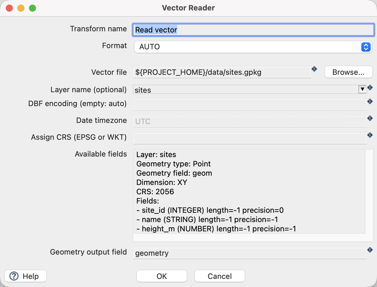
${PROJECT_HOME}/data/sites.gpkg, formatAUTO, layersites, and geometry output fieldgeometry. - Use the source schema/preview controls to inspect the fields. Expect
site_id,name,height_mand a geometry field. The source contains three point features in EPSG:2056. - Close the reader dialog with OK, then click the writer and choose Edit.
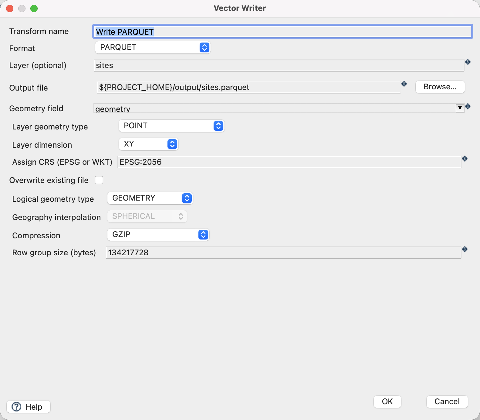
Configure the writer
| Setting | Value |
|---|---|
| Format | PARQUET |
| Output file | ${PROJECT_HOME}/output/sites.parquet |
| Geometry field | geometry |
| Layer geometry type | POINT |
| Layer dimension | XY |
| Assign CRS | EPSG:2056 |
| Logical geometry type | GEOMETRY |
| Compression | GZIP |
| Row group size (bytes) | 134217728 |
| Overwrite existing file | Off |
Run and check the result
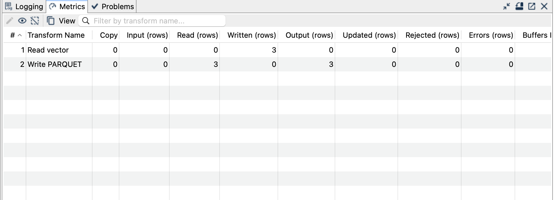
Run parquet.hpl. Expect three records with site_id, name, height_m and a geometry column. height_m remains a floating-point attribute; it is not encoded as a coordinate dimension.
Inspect with a reader that understands native Parquet spatial logical types. The published example was independently read with GDAL 3.13.3: it reports three geometries in EPSG:2056 and the expected attributes. A generic Parquet reader may expose the geometry bytes without spatial interpretation.
Use GEOMETRY for these projected coordinates. GEOGRAPHY has different geographic semantics and interpolation settings; selecting it does not convert LV95 coordinates to longitude and latitude.
Things to watch out for
- This is native spatial Parquet, not a file with GeoParquet
geometadata. Check downstream support explicitly rather than assuming all GeoParquet readers accept it. - Geometry schema and dimension must match the data. Supported curves are linearized.
- Decimal fields need valid precision/scale metadata; this fixture uses ordinary numeric values and does not test decimal edge cases.
- Row-group size is a tuning setting, not a limit on total output size.
- Vector Reader cannot read this Parquet output. Use an independent reader for verification.
The CRS controls assign a coordinate reference system; they do not reproject coordinates. All coordinates in this example already use EPSG:2056.