Reproject and resample a raster
All raster tutorials · Vector Raster plugin
Transform the grid from LV95 to Web Mercator and compare nearest-neighbour sampling with bilinear interpolation.
Before you begin
Set up the complete raster project. Tested on 3 October 2026, Apache Hop 2.19.0, Java 21.0.10, with the plugin builds recorded in the ZIP’s tested-environment.json. Use the local run configuration.
Download reproject-nearest.hpl · Download reproject-bilinear.hpl
Complete project ZIP. Individual pipelines need the data and metadata from that ZIP.
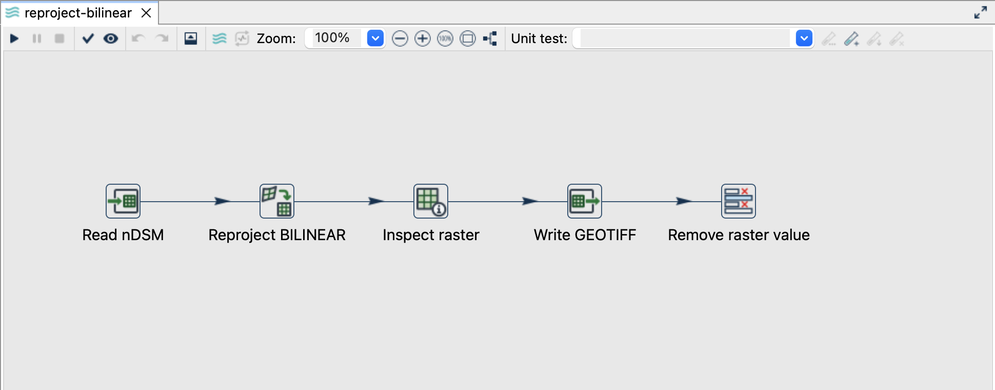
Configure Reproject
- Open either pipeline. Read nDSM reads the same bundled input.
- Open Reproject NEAREST or Reproject BILINEAR. These pipelines differ in interpolation and output filename.
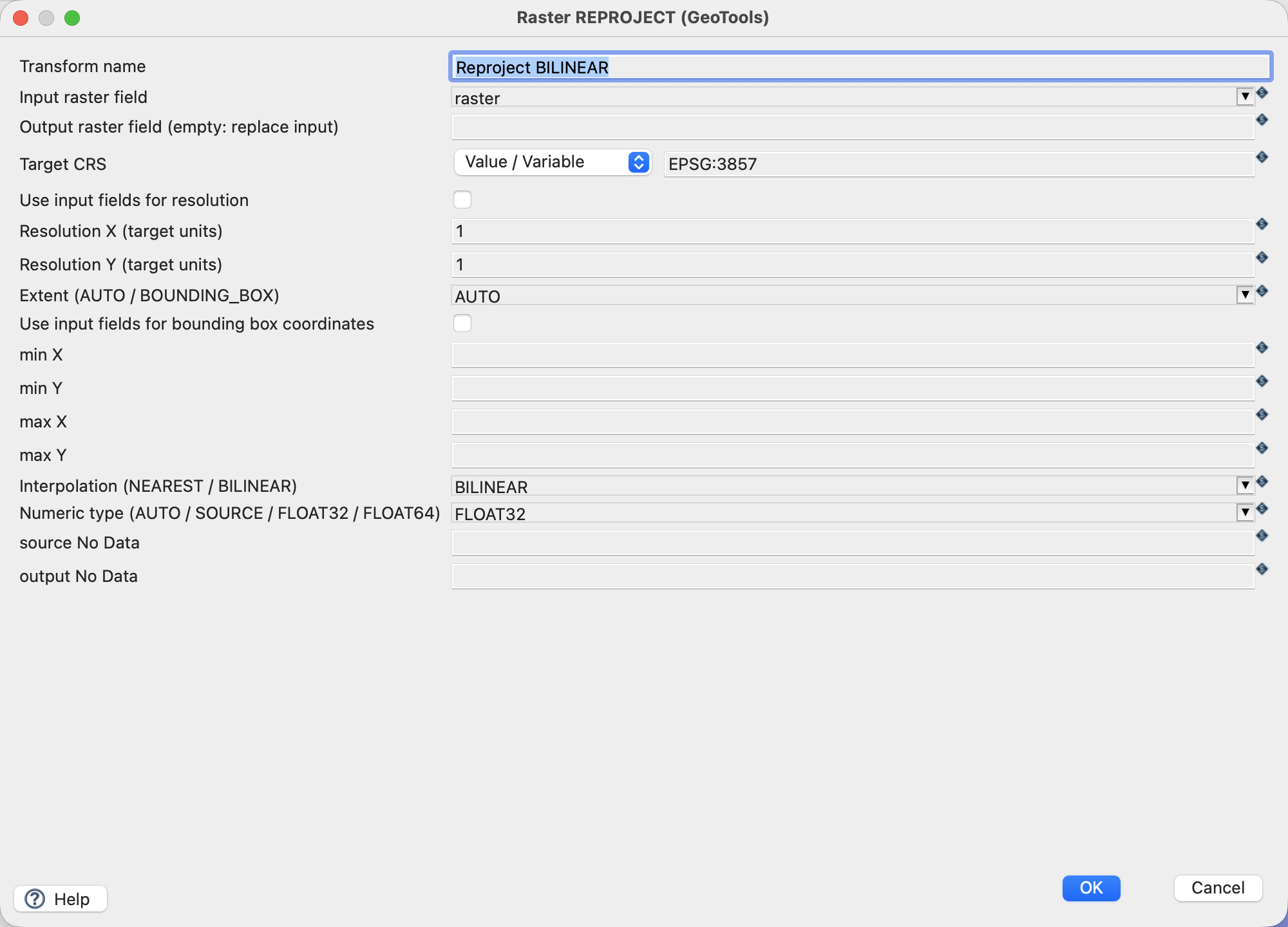
- Use the settings below. The output raster field remains empty, replacing the input value.
| Setting | Value |
|---|---|
| Input raster field | raster |
| Target CRS | EPSG:3857 |
| Resolution X / Y | 1 / 1 |
| Extent | AUTO |
| Interpolation | NEAREST or BILINEAR |
| Numeric type | FLOAT32 |
| Source/output NoData overrides | Empty: inherit -9999 |
| Writer outputs | output/reproject-nearest.tif, output/reproject-bilinear.tif |
Run and compare
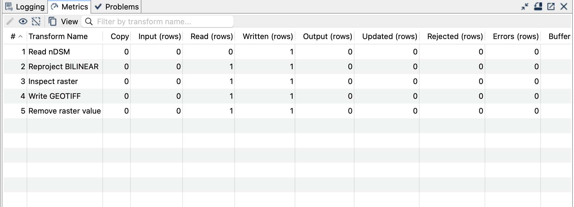
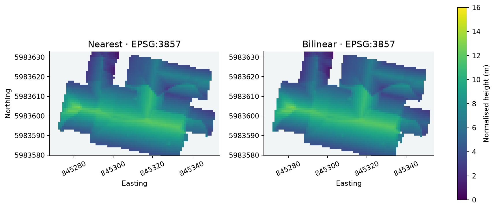
Each pipeline writes one 858 × 1740 Float32 raster. Both use EPSG:3857, 1-unit pixels and the same extent: E 844908–845766, N 5983148–5984888. Cell boundaries are aligned to target-resolution multiples; AUTO rounds the transformed footprint outwards.
Nearest selects a source sample and is appropriate when class codes must remain intact. Bilinear combines up to four source neighbours and gives smoother continuous heights; invalid neighbours are excluded and the remaining weights normalised. It does not calculate an area average of all source pixels covered by a larger target cell.
Things to watch out for
- These are Web Mercator map metres, not uniformly accurate ground metres. Use LV95 for local measurements and the original raster for the building statistics.
- Explicitly set both resolutions. Assigning a CRS elsewhere does not perform this operation.
- Resampling can change extrema and the number of valid samples. It is deliberately absent from the ZonalStats examples.
- The check uses independent PROJ sampling with a bounded 6.25-cm source-coordinate tolerance because this GeoTools build and PROJ differ by about 4 cm for the datum operation. Controlled same-CRS fixtures check interpolation separately.
- Preserve NoData; do not replace it with zero as a convenience.